Understanding colonization Worksheets for Kids
1 filtered results
-
From - To
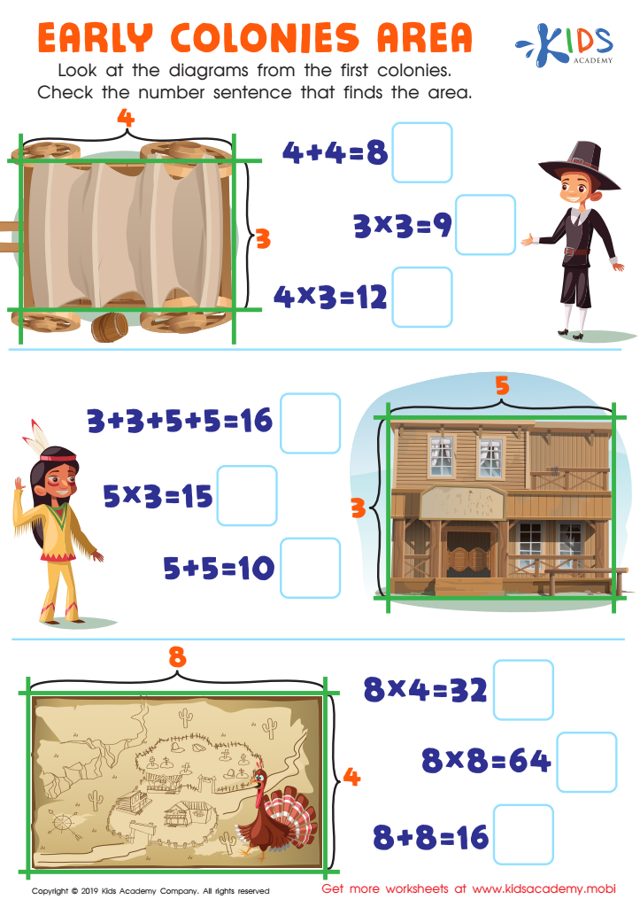
Early Colonies Area Worksheet
Question/Answer
What are some effective activities to train students’ Understanding colonization skill when teaching them about Geometry?
To train students in understanding colonization in geometry, integrate activities such as creating geometric shapes with tessellations to represent different territories, using geometric constructions to map out colonial expansion routes, and employing coordinate geometry to analyze the layout of colonial cities. These activities enhance spatial reasoning and provide a practical application of geometry concepts in historical contexts.
What does the Understanding colonization skill mean when it comes to Grade 3 Geometry learning?
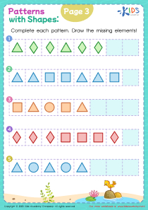
The term "Understanding colonization" does not directly relate to Grade 3 Geometry learning. It appears there might be a misunderstanding or miscommunication. Grade 3 Geometry typically focuses on understanding shapes and their properties, such as recognizing and categorizing different types of polygons or understanding the concepts of perimeter and area, rather than historical or sociopolitical concepts like colonization.
How to train the Understanding colonization skill in Grade 3 students learning about Geometry?
To train the Understanding Colonization skill in Grade 3 students learning about Geometry, engage them in activities that map geometric shapes to real-world colonial structures, like designing simple forts or ships using basic shapes. Incorporate storytelling that connects geometry with historical colonization events, helping them visualize and understand the spatial aspects of colonization through geometric principles.