Keys, Symbols, and Directions - Lesson for Grade 3, Chapter - World Geography
In the "Keys, Symbols, and Directions" lesson, part of the "The World Around You" unit in our World Geography chapter, third-grade students will embark on an exciting journey to understand the foundational elements of map reading and navigation. Through engaging activities including the Map Keys Worksheet, Map Symbols Worksheet, and Intercardinal Directions Worksheet, students will learn to identify and interpret various map keys and symbols, essential tools for understanding the information maps convey about the world. Furthermore, they will explore the concept of intercardinal directions (northeast, southeast, northwest, and southwest), enhancing their ability to navigate and comprehend geographical locations more precisely.
This lesson is of paramount importance as it equips students with vital skills for their academic careers and everyday life. Understanding how to read maps effectively fosters spatial thinking, improves problem-solving abilities, and encourages a greater appreciation of the world's diverse landscapes and cultures. By mastering these skills, students not only enhance their geography knowledge but also develop a sense of global awareness and curiosity, setting a strong foundation for future learning and exploration.
-
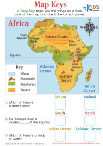
Activity 1 / Map Keys Worksheet
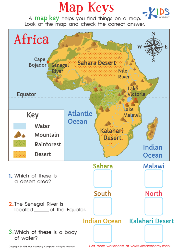
We live in an age where children type directions into an electronic device, but that means that they don't get much real-world experience with reading maps and using map keys. This gorgeous PDF worksheet lets students see a map of the continent of Africa, and allows them to associate map symbols in a key with the destinations on the map. They'll use the key to help them answer the directional questions and feel like they're on an actual safari!
-
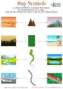
Activity 2 / Map Symbols Worksheet
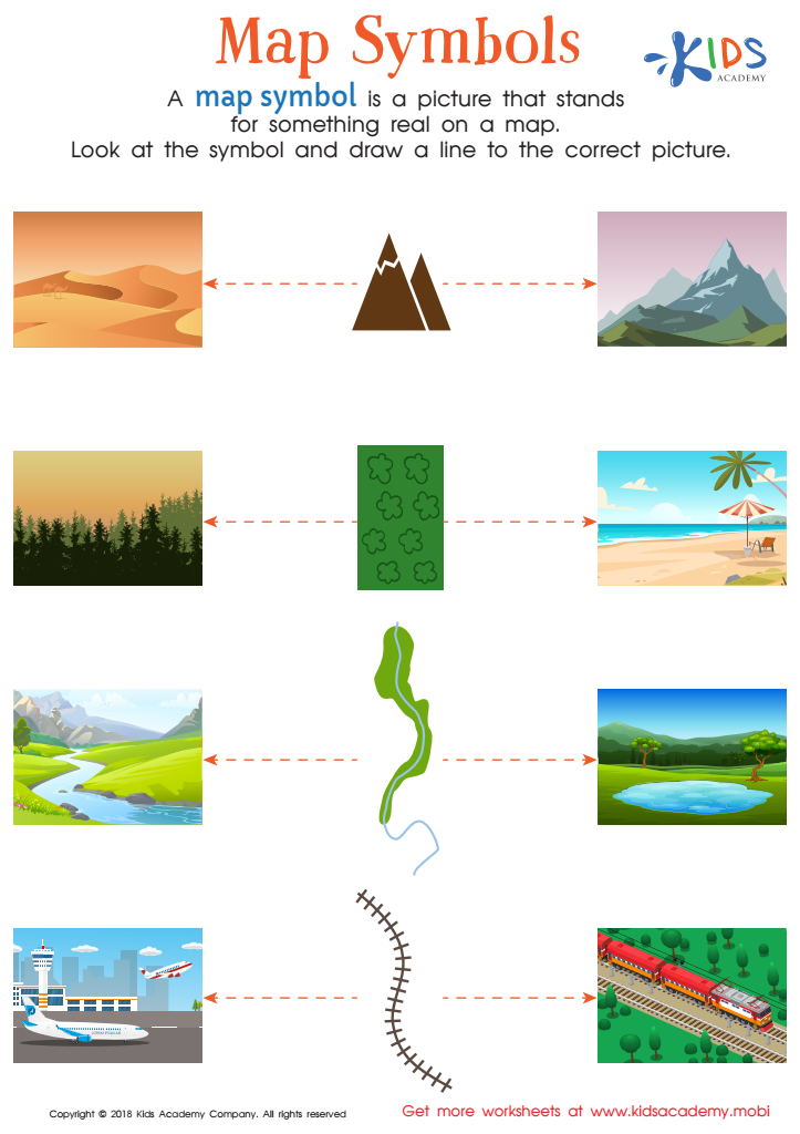
Even in the day of GPS, being able to read a map is a skill that goes beyond finding location. Using symbols to help locate places of interest and destinations also helps strengthen reading, visual discrimination and critical problem-solving skills. This fun and free worksheet will give children concrete imagery to help strengthen their ability to use map symbols when reading maps and locating specific places.
-
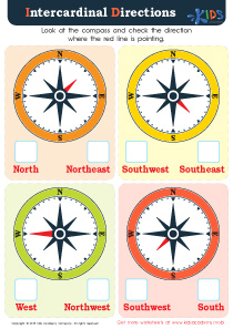
Activity 3 / Intercardinal Directions Worksheet
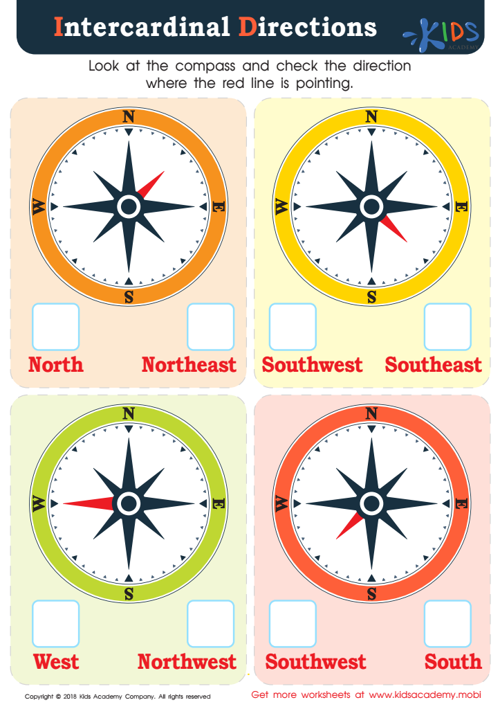
Using cardinal (North, South, East and West) and Intercardinal Directions (Northeast/Northwest, Southeast/Southwest) are important social studies and geography concepts for young students to learn. This colorful PDF offers them pictures of compasses that they'll use to decide which direction the needle is pointing. It's a real-world skill that they don't often get to practice in a digital age, but an important one for common curriculum as well as independent living skills.


