Map reading Normal Social Studies Worksheets for Ages 6-8
3 filtered results
-
From - To
Discover our engaging "Map Reading Normal Social Studies Worksheets" designed specifically for children aged 6-8! These interactive worksheets help young learners develop essential map-reading skills through fun activities and challenges. Students will explore key concepts such as understanding symbols, directions, and scales while enhancing their spatial awareness. Each worksheet is crafted to promote critical thinking and encourage curiosity about geography and their surrounding environment. Ideal for both classroom instruction and home practice, our comprehensive resources ensure that every child gains confidence in navigating maps. Start your child's journey into the captivating world of social studies today with our user-friendly worksheets!
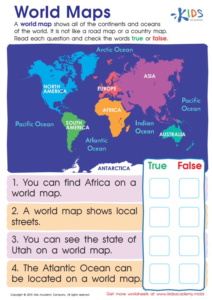
World Maps Worksheet
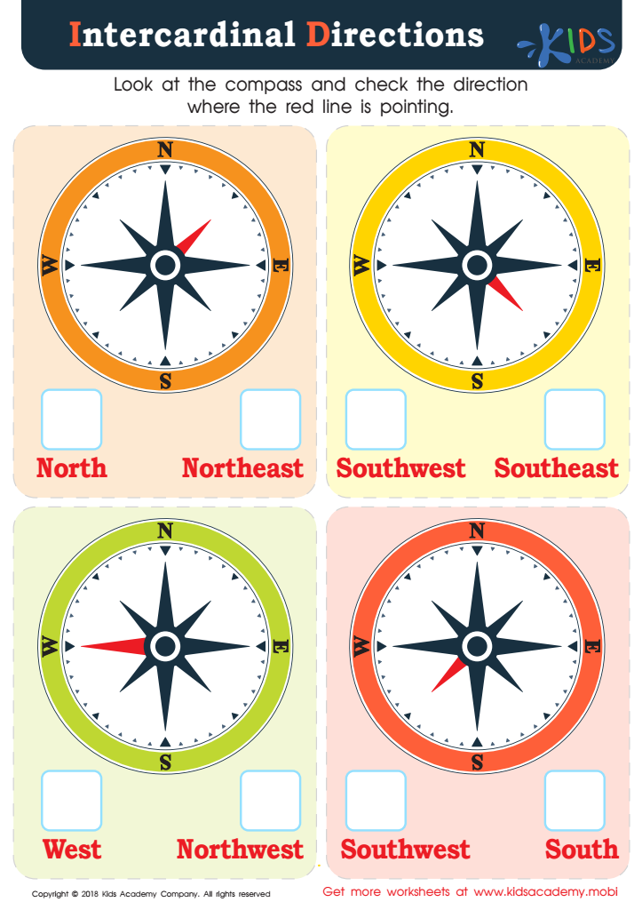
Intercardinal Directions Worksheet


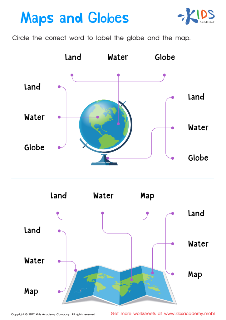
Map reading is an essential skill for children aged 6-8, particularly within the framework of social studies. Parents and teachers should prioritize this skill as it fosters critical thinking, spatial awareness, and geographical literacy in young learners. By understanding maps, children gain insight into their surroundings and develop a sense of place and orientation in relation to other people, cultures, and environments.
Learning to read maps also enhances a child's ability to navigate their own world, leading to increased independence. It connects them to real-world contexts, making lessons in social studies more engaging and relevant. When children learn how to interpret symbols, scale, and directions on a map, they cultivate problem-solving skills and analytical thinking—all cardinal competencies for their ongoing education.
Additionally, map reading facilitates discussions about history, culture, and current events, allowing students to place these concepts in a relevant context. Early exposure to map skills can ignite curiosity about geography and history, informing their worldview. Ultimately, equipping students with these foundational skills fosters informed citizens who understand and appreciate the interconnectedness of our global community—important for their personal growth and societal contribution.