Map reading Normal Social Studies Worksheets for Ages 6-9
3 filtered results
-
From - To
Discover engaging "Map Reading Normal Social Studies Worksheets" designed for children ages 6 to 9! These worksheets provide an interactive way to introduce young learners to essential map skills, including understanding directions, identifying landmarks, and interpreting symbols. Our curated activities encourage critical thinking and enhance spatial awareness, making geography fun and accessible. With colorful illustrations and age-appropriate challenges, students will confidently develop their navigation abilities. Ideal for classroom use or homeschooling, these worksheets foster a lasting interest in social studies and exploration. Browse our collection now to empower your child's learning journey through the exciting world of maps!
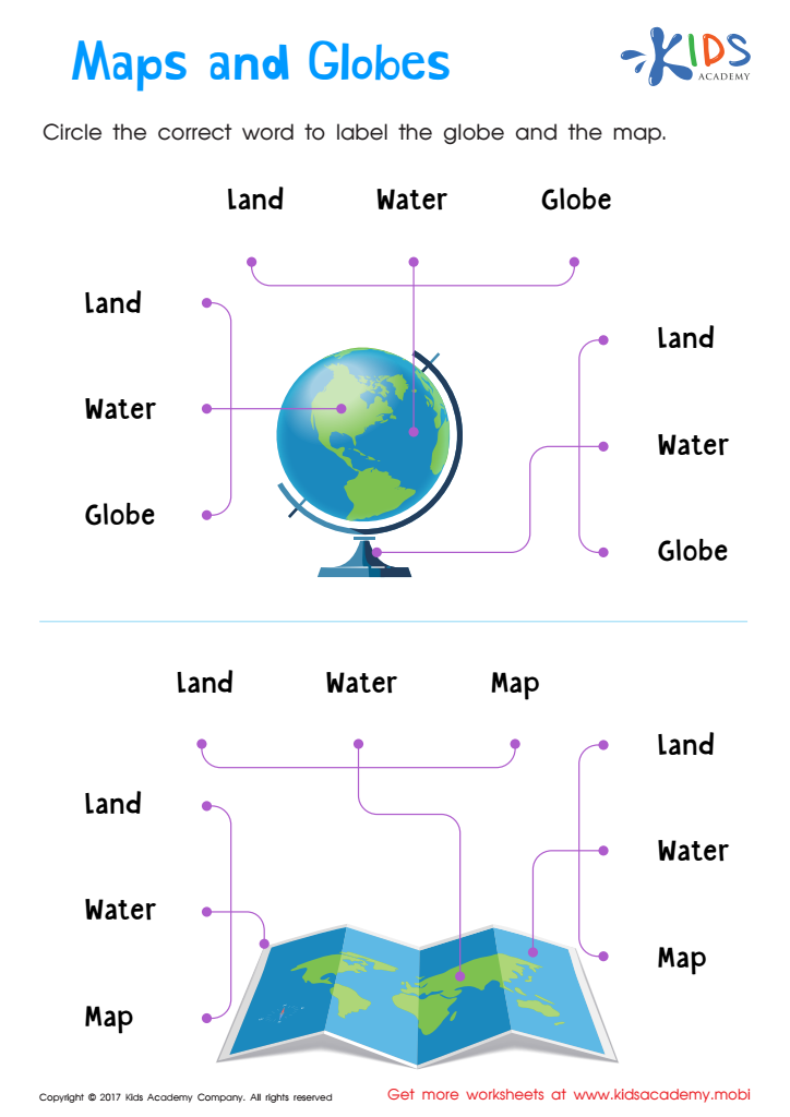
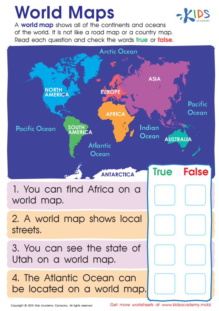
World Maps Worksheet
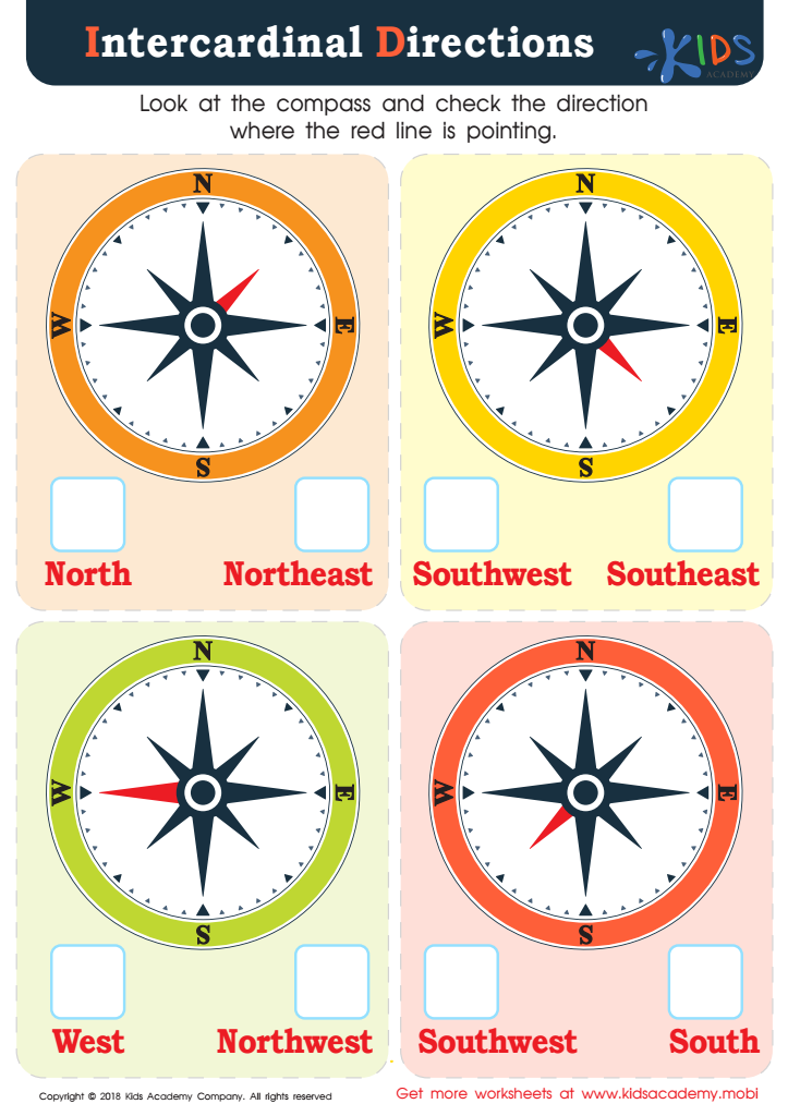
Intercardinal Directions Worksheet


.jpg)


Map reading skills are essential for children ages 6-9, as they foster critical thinking, spatial awareness, and cultural appreciation. Engaging with maps allows young learners to develop a practical understanding of geography, helping them comprehend their world in a more nuanced way.
For parents and teachers, encouraging map reading through Normal Social Studies promotes curiosity about diverse cultures, communities, and environments. This foundational skill not only supports lessons in geography, but it also enhances literacy and mathematical skills, such as interpreting legends, scales, and symbols.
Additionally, being able to read maps encourages independence and decision-making—qualities that are beneficial for personal development. As children trace routes or identify landmarks, they also learn about navigation and orientation, crucial skills in today's world.
Moreover, integrating map reading into social studies curriculum can ignite cross-curricular connections. It allows for discussions about history, storytelling, and problem-solving, all while nurturing important collaborative skills as students work together to interpret geographic information. In essence, map reading is an invaluable tool that sharpens children's cognitive abilities and enriches their understanding of their surroundings, ultimately laying the groundwork for lifelong learning and engagement with the world.