Map reading skills Normal Science Worksheets for Ages 4-7
1 filtered results
-
From - To
Discover the world of maps with our Map Reading Skills Normal Science Worksheets, designed specifically for kids ages 4-7. These engaging worksheets make learning fun as children explore key mapping concepts, such as direction, symbols, and landmarks. Each activity is crafted to capture young learners' interests while developing their spatial thinking and problem-solving abilities. Perfect for both classroom and home use, these printables aim to build a strong foundation in geography and navigation, fostering curiosity and confidence in young explorers. Equip your child with essential map reading skills today and set the course for amazing learning adventures!
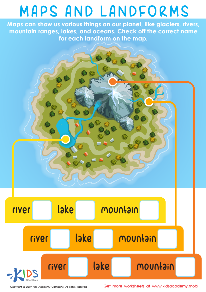
Maps and Landforms Worksheet


Map reading skills are essential for young learners aged 4-7, as they foster important cognitive and social abilities. At this developmental stage, children are highly receptive to learning new concepts, and maps offer a practical way to enhance spatial thinking. By interpreting maps, kids learn to understand symbols, scales, and basic navigational terms like “north,” “south,” “left,” and “right.” These skills play a foundational role in their overall cognitive development.
Moreover, map reading nurtures problem-solving abilities. As children figure out directions and routes, they practice critical thinking and logical reasoning. This not only aids their academic growth but also boosts their confidence in making decisions independently. Socially, these activities can be collaborative, fostering teamwork and communication among peers.
Educators and parents can use maps to integrate various subjects in a fun, engaging manner. For example, geography lessons can include cultural information about different places, while math skills can be reinforced through measuring distances or comparing regions. Also, map-reading skills contribute to a child’s understanding of their environment, making them more aware of the world around them.
In conclusion, investing in map reading for young learners builds a foundation for future academic success and life skills, making it an indispensable part of early education.