Map reading Normal Social Studies Worksheets for Ages 5-8
3 filtered results
-
From - To
Introduce young learners to the exciting world of map reading with our engaging Social Studies worksheets designed for ages 5-8. Our interactive activities, available on Kids Academy, foster essential geographic skills by teaching children how to identify map elements, use legends, and understand compass directions. These carefully crafted worksheets blend fun and education, ensuring kids grasp foundational mapping concepts through visual aids and hands-on practice. Ideal for early grade students, our map reading resources build confidence and curiosity as they navigate and explore new terrains, setting the stage for a lifetime of spatial awareness and geographical knowledge.
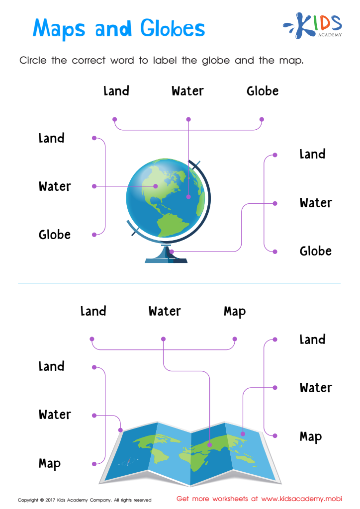
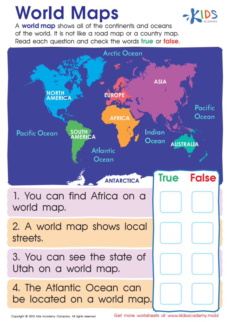
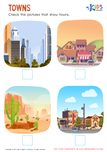
World Maps Worksheet
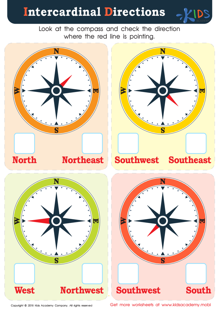
Intercardinal Directions Worksheet


Map reading skills are fundamental for young learners aged 5-8 as they serve as an introduction to a broader understanding of the world around them. Parents and teachers should care about integrating map reading into normal social studies curricula because it fosters spatial thinking, which is crucial for problem-solving and critical thinking skills later in life. By interpreting symbols, reading legends, and grasping directions, children can significantly enhance their cognitive development.
Moreover, maps provide a hands-on approach to learning geography, helping kids understand physical landscapes, weather patterns, community layouts, and how different places relate. This early exposure can ignite curiosity about the world, promoting a sense of adventure and global awareness. Socially, map reading is an essential skill that can facilitate spatial orientation—aiding children in becoming more independent, confident, and capable of navigating new environments.
Furthermore, maps are tools for storytelling and understanding history, allowing kids to visualize the movement of people, resources, and cultures over time. Understanding the concept of maps can also bridge learning in other subjects, such as math, through coordinates, scales, and measurements. Prioritizing these skills not only enriches a child's immediate learning experience but also establishes a toolkit for lifelong learning and engagement with the world.