Map reading skills Normal Worksheets for Ages 3-7
9 filtered results
-
From - To
Enhance your child's geographical understanding with our "Map Reading Skills" worksheets designed for ages 3-7. Available on Kids Academy, these worksheets transform learning into an engaging, hands-on adventure. Perfect for young explorers, the activities help children identify landmarks, follow routes, and develop spatial awareness through playful and age-appropriate tasks. Aligned with educational standards, our high-quality printables support early learning, assisting in the mastery of fundamental map skills. These worksheets are ideal for parents and educators seeking effective tools to boost kids' confidence and curiosity in exploring the world around them. Download today and embark on a fun learning journey!

5 U.S. Regions Worksheet
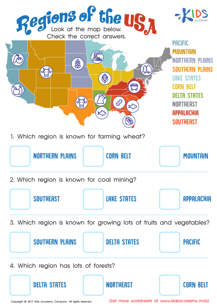
Regions of the USA Worksheet

Seven Continents Worksheet

World Continents Worksheet
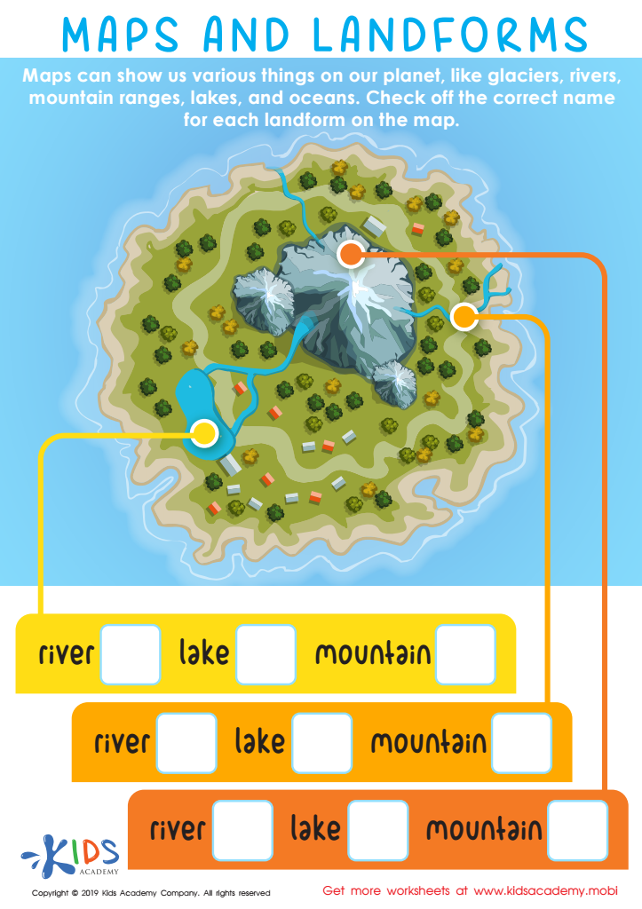
Maps and Landforms Worksheet

US Regions Coloring Page Worksheet

Cardinal Directions Printable
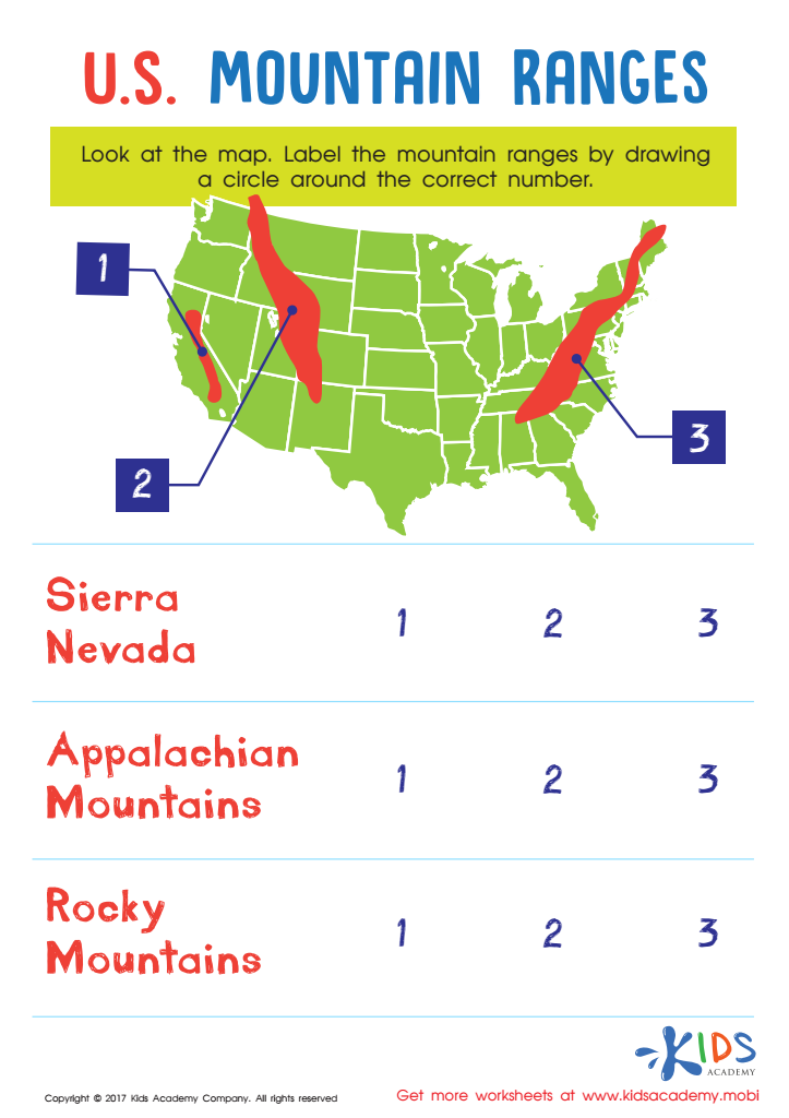
US Mountain Ranges Worksheet

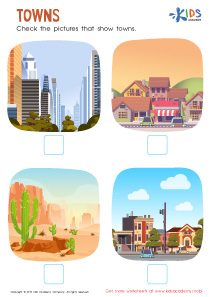
Towns Worksheet


Map reading skills offer numerous cognitive and developmental benefits for children ages 3-7, and parents and teachers should place emphasis on fostering these skills early on. Comprehending maps helps children develop spatial awareness, which is crucial not just for geography but for everyday tasks such as navigating their environment and understanding distances and directions. This foundational skill translates to improved abilities in math and science, where spatial reasoning is vital.
Moreover, engaging with maps can boost a child's language development. As they learn map-related terms—like "north," "south," "left," and "right"—their vocabulary expands. Discussions about maps also encourage questions and descriptive language, promoting better communication skills.
Creative thinking is another benefit. Children can use maps to engage in imaginative play, navigating treasure hunts or creating their own worlds, fostering creativity and problem-solving skills. Additionally, introducing maps that feature different countries or cultures broadens a child's understanding of the world, promoting early lessons in diversity and global awareness.
Overall, maps are not just tools for navigation but windows into engaging, multidisciplinary learning experiences. By introducing map reading in early education, parents and teachers set children on a path toward better cognitive development and real-world readiness.