Geographic orientation skills Worksheets for Kids
1 filtered results
-
From - To
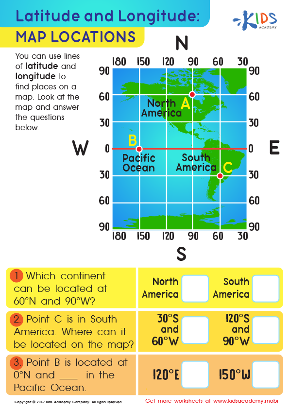
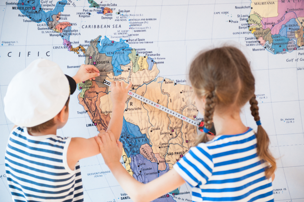
Latitude and Longitude: Map Locations Worksheet
Question/Answer
What are some effective activities to train students’ Geographic orientation skill when teaching them about Geography?
Effective activities for training students' Geographic orientation skills include map reading and interpretation exercises, compass navigation tasks, creating and using mental maps, engaging in geocaching or scavenger hunts to apply directional skills, and utilizing geographic information system (GIS) software for spatial understanding. Incorporating virtual tours or augmented reality can also enhance real-world geographic orientation and comprehension.
How to train the Geographic orientation skill in Grade 2 students learning about Geography?
To train Geographic orientation in Grade 2 students, introduce them to simple maps of familiar places, like their classroom or neighborhood. Engage them in activities like creating basic maps from direct observation, using map symbols, and following directions on a map.
How to test a Grade 2 student’s Geographic orientation skills?
To test a Grade 2 student's Geographic orientation skills, engage them in activities like identifying basic map symbols, distinguishing between land and water on simple maps, recognizing cardinal directions (North, South, East, West), and locating familiar places like their home, school, or park on a neighborhood map.